Tampines Heritage Trail
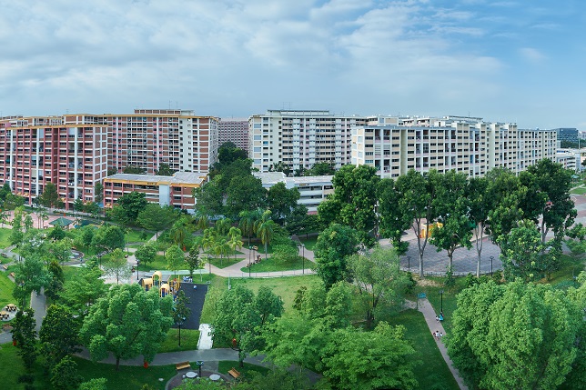
Today, most Singaporeans know Tampines to be a vibrant town at the forefront of sustainable urban living. The Pan Island Expressway and the Mass Rapid Transit (MRT) line deliver crowds of people to this bustling Regional Centre, bound for the shopping malls, offices, factories, and of course, homes.
Yet less than forty years ago, Tampines was mainly accessed by its eponymous road – a winding route that took one past kampongs (“villages” in Malay), farms, and in later years, a detour around the runway of the former Paya Lebar Airport. Not surprisingly, the Tampines of the past was considered to be ulu (“remote” in Malay) and it was regarded mainly as a rural district located away from the city.
The early history of this area was also characterised by environmental change, most apparent when the Tempinis trees that lent their name to this district went virtually extinct due to rampant and unsustainable exploitation. From the 1960s, the extraction of sand from quarries in Tampines for the construction of urban Singapore likewise led to a number of environmental issues.
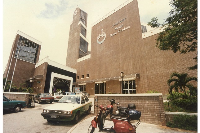
Today, few traces of Tampines’ ulu past remain but old images and memories of its former and present residents provide a fascinating glimpse of a district once traversed by plantation workers, sand miners and travelling hawkers. Follow us on this trail and explore the heritage of Tampines through the landmarks and stories behind the transformation of this cornerstone of the east.
GameOn Nila Jejak Warisan Edition
Click here to download the app.


