Frame size: 77.8 x 107.0 x 3.5 cm,
Image size: 64.5 x 93.5 cm
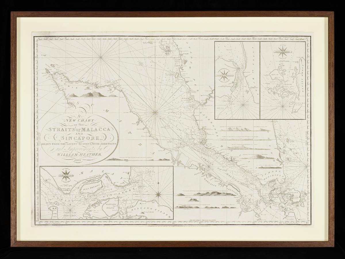
This chart by the London publisher and mapmaker William Heather shows us the navigational understanding of the Straits of Malacca and Singapore at the turn of the 19th century. Of particular interest is the inset map of the Straits of Singapore (spelled as was common at that period as “Sincapore”) showing mainland Singapore (identified as Pulo Panjang or “Long Island” in Malay). Tanah Merah is identified on the island’s east coast as well with the labels of “Red Cliffs”). The detailed nautical information and navigational instructions along the Straits of Singapore attest to the importance of the passageway along with the Straits of Malacca at that time. The chart itself credits a certain Captain Milner for the survey of Straits of Singapore – this is most probably William Milner who commanded the EIC ship Prince of Wales, arriving at Canton in 1797 after much travail, having gone off course, failing to secure navigational assistance, and surviving a collision with a Chinese ship.


