Title
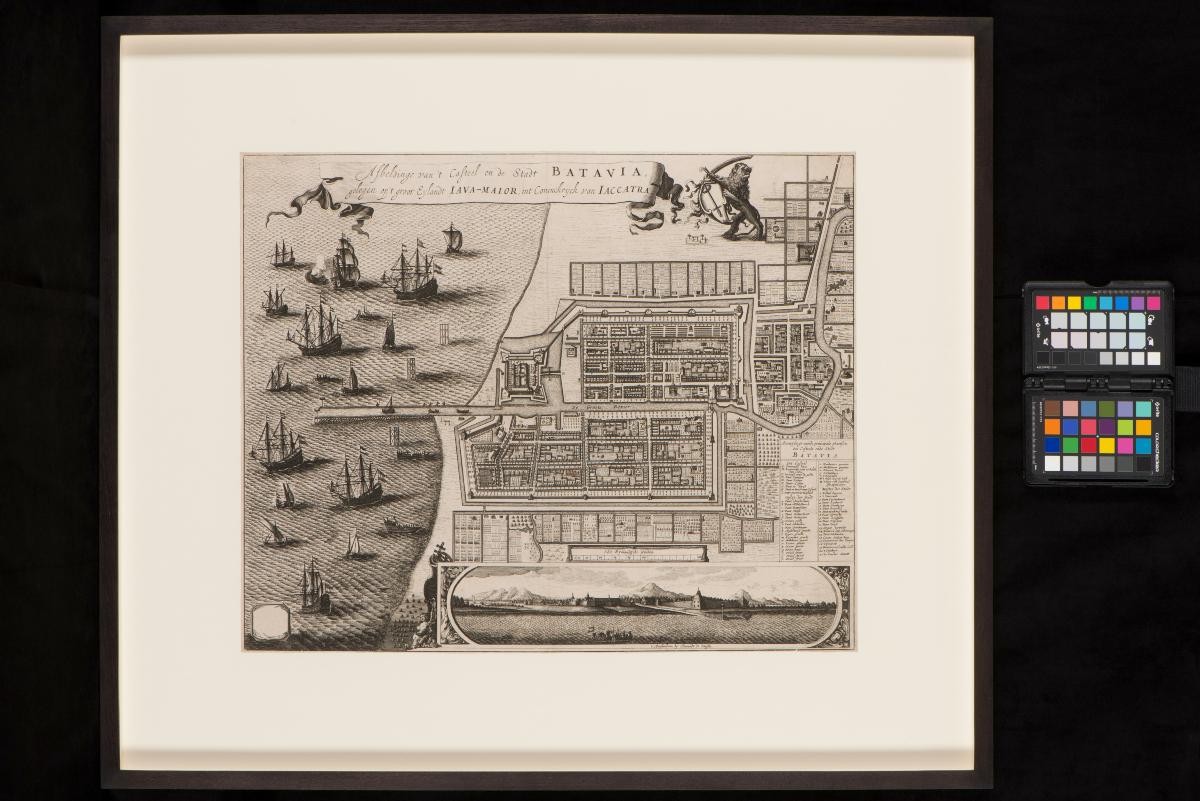
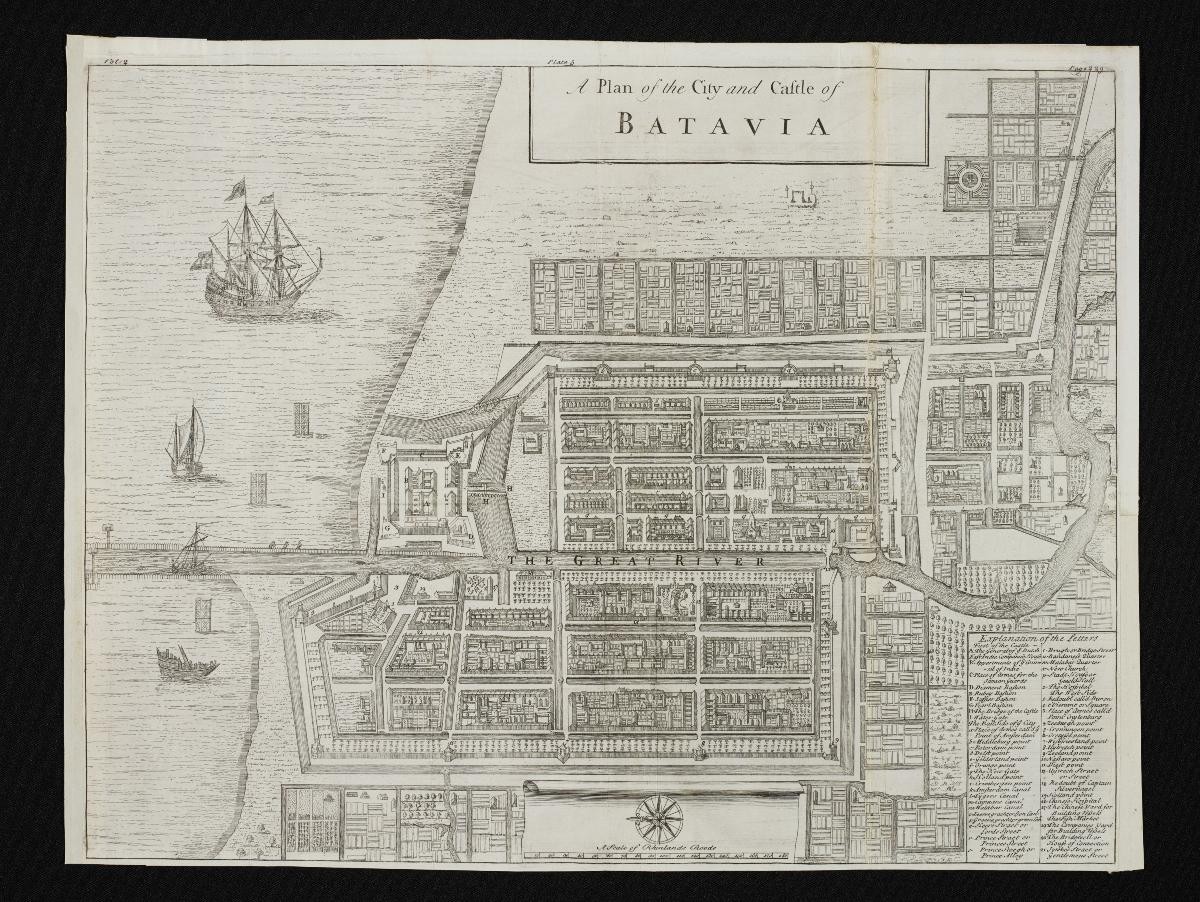
Herman Moll's Plan of the City and Castle of Batavia
Year/Period
1725
Object Type
Material
Technique
Dimension
Image size: 43.8 x 41.7 cm,
Object size: 33.5 x 32.3 cm
Object size: 33.5 x 32.3 cm
Accession No.
2018-00078
Collection of
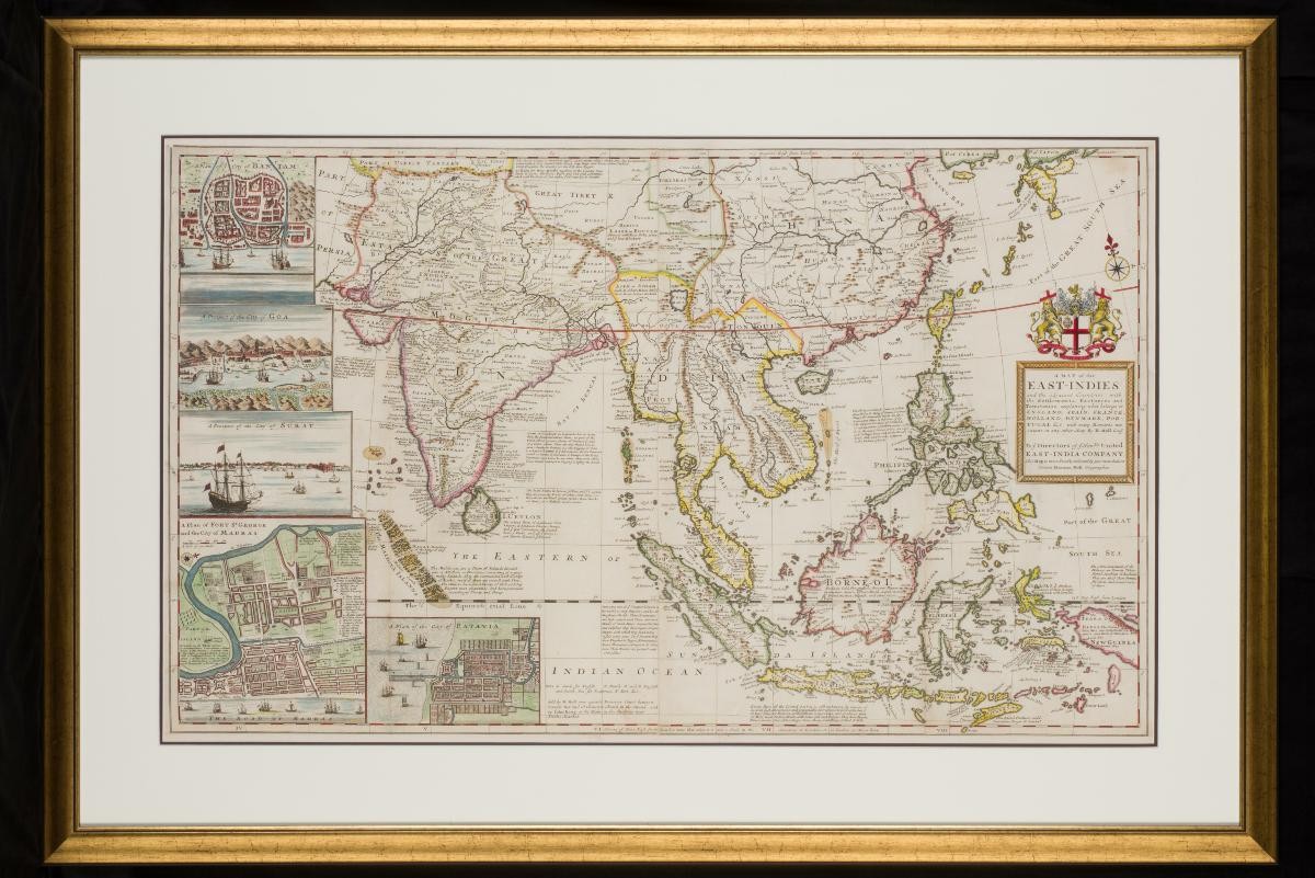
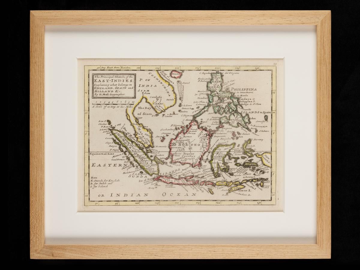
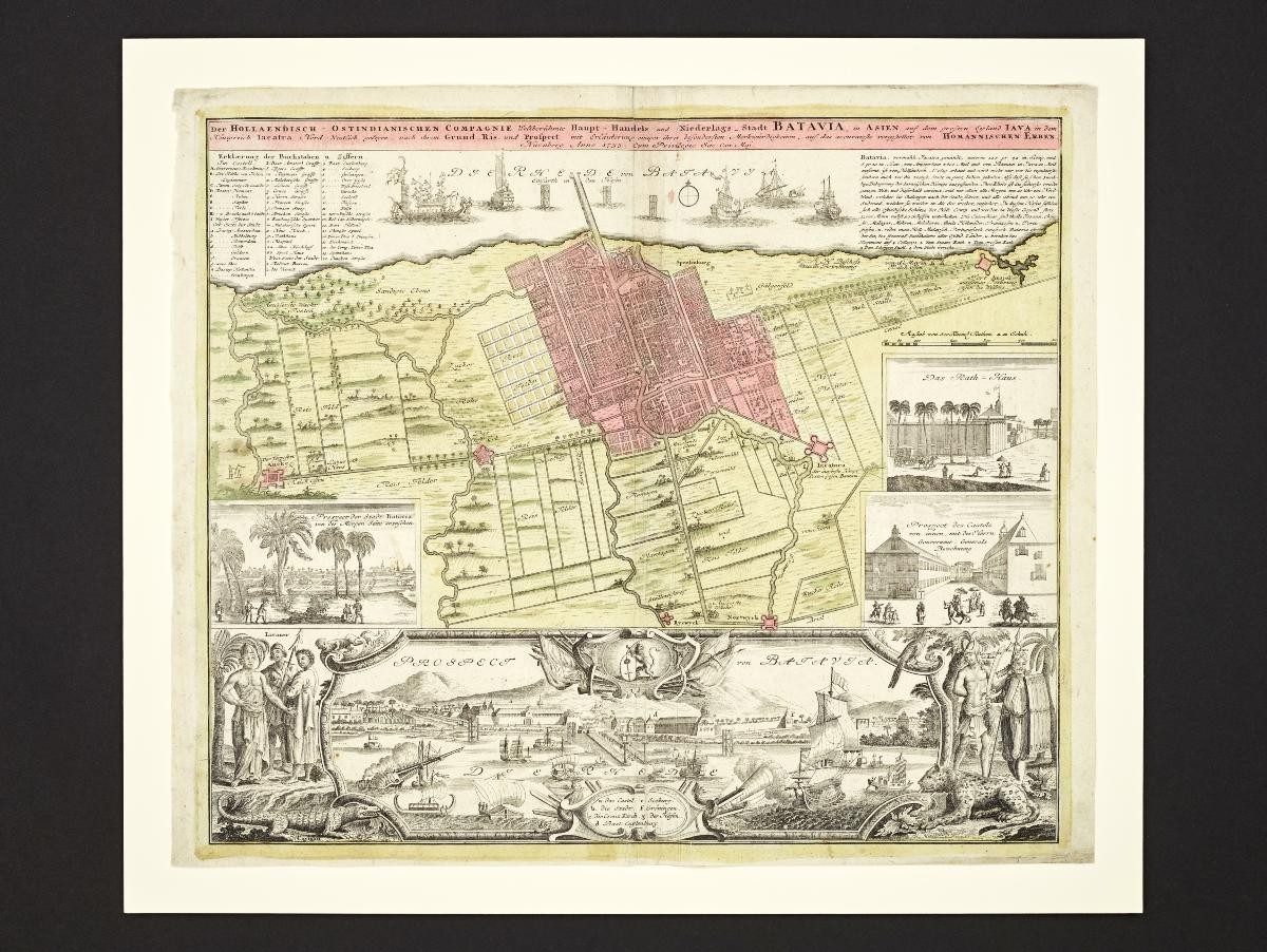
This 18th century plan of the city of Batavia was produced by Herman Moll, a London based mapmaker. It highlights the fortifications of Batavia, the capital of the Dutch East Indies, and marks significant buildings and sites with a detailed legend. Some ships are depicted by the harbour, with one entering the harbour canal.