Title
                                    
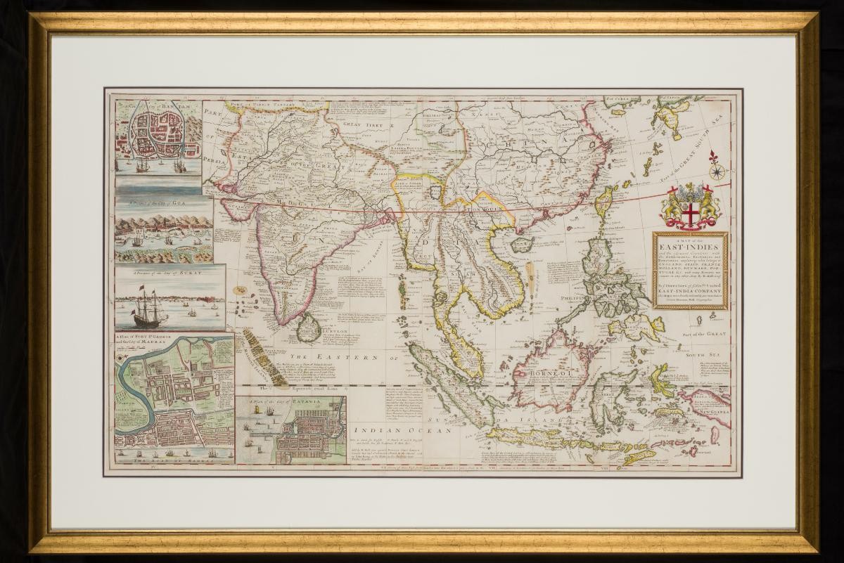
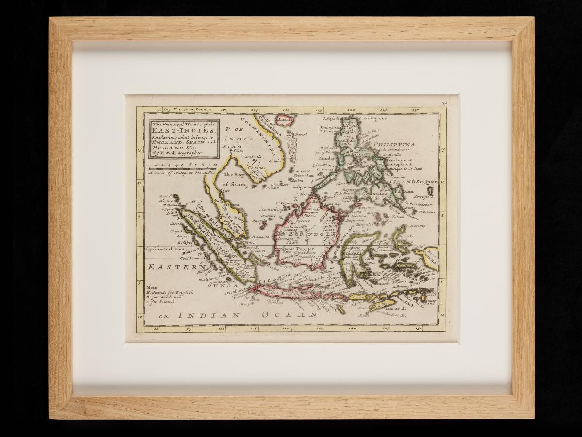
                                        Herman Moll's Map of the Principal Islands of the East Indies
                                    
                                Year/Period
                                    c1725
                                Object Type
                                    
                                Material
                                    
                                Technique
                                    
                                Dimension
                                    Object size: 23.5 x 35.7 cm, 
Image size: 19.5 x 27.0 cm
                                Image size: 19.5 x 27.0 cm
Accession No.
                                    2018-00073
                                Collection of
                                    
                                
This map of the East Indies was published in the early 18th century by Herman Moll, a Dutch mapmaker who lived and worked in London. It indicates the English, Spanish and Dutch possessions in the region, and manages to include the names of many of the smaller islands.


                            