Frame size: 47.2 x 63.5 cm
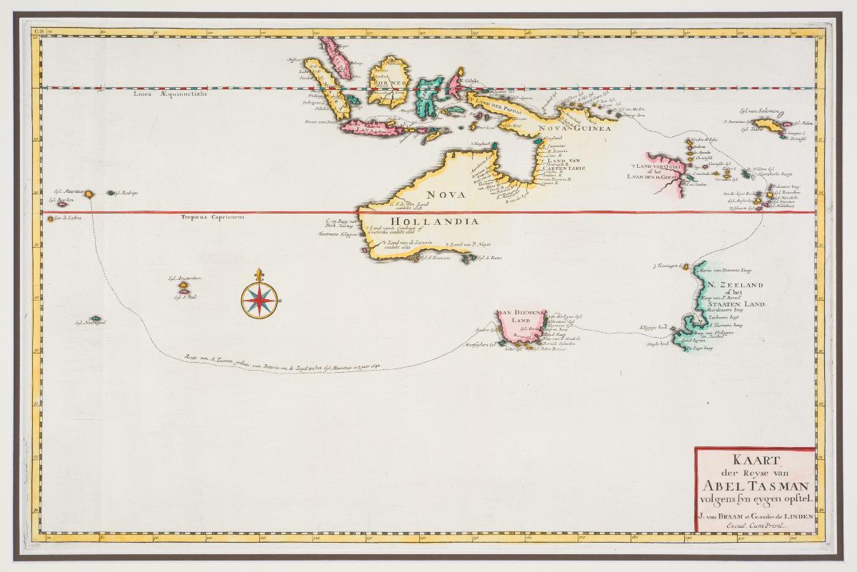
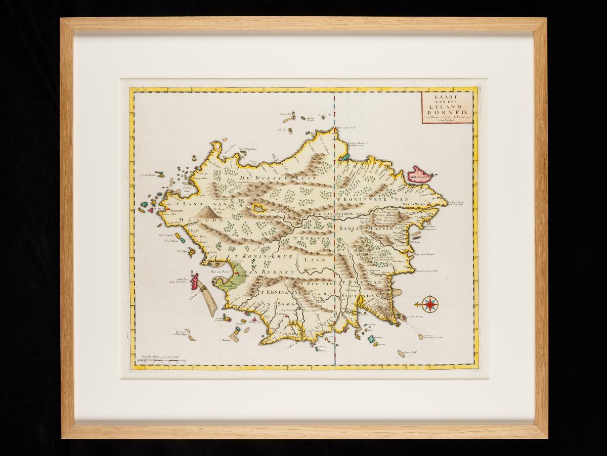
Francois Valentijn (1666–1727) was a minister, naturalist and writer who served the Dutch V.O.C. in the East Indies in the late 17th and early 18th centuries. His monumental work Oud en Nieuw Oost-Indien (Old and New East-India), published between 1724 and 1726, offers a comprehensive mapping of the East Indies with a large selection of scale maps and views. This map, which was published in that work, traces the route of Dutch explorer Abel Tasman from Mauritius, via Van Dieman’s Land (Tasmania) and New Zealand, to Batavia.


