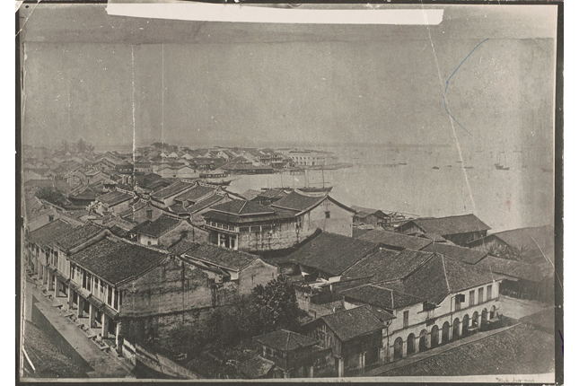
This postcard shows residential buildings in the Cantonment district (foreground) and the skyscrapers along Shenton Way (background). The area around what is now Cantonment Road was originally set aside by Sir Stamford Raffles in 1819 for the housing of the East India Company’s sepoy troops. The term ‘cantonment’ referred to the lodgings used to house the troops, who were ‘cantoned’ in the area from 1824 to 1858. The Cantonment area became known as Sepoy Lines in reference to the large number of troop lodgings found there. In the 1920s, the area was occupied by the masonry buildings of European merchants. In 1964, the area was transformed into a residential district after the first two blocks of Housing Development Board flats in the new Cantonment Road public housing estate were completed.Shenton Way was a road built in the 1930s on land reclaimed from the Telok Ayer Basin and originally called Raffles Way. The thoroughfare was renamed in 1951 after Sir Shenton Thomas, the former Governor of the Straits Settlements (1934-1946). By the 1970s, the area around Shenton Way had developed into Singapore’s main financial district.


