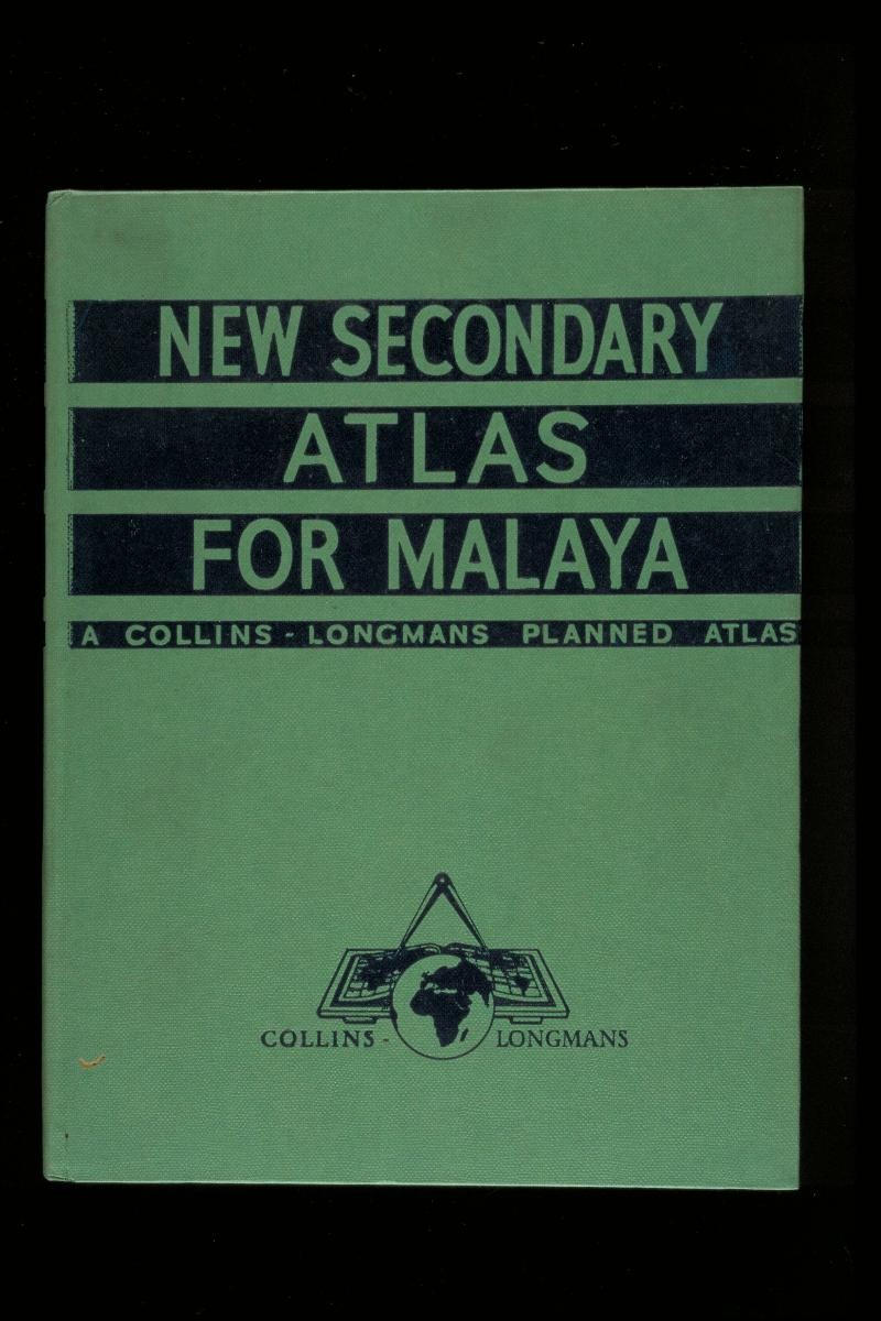
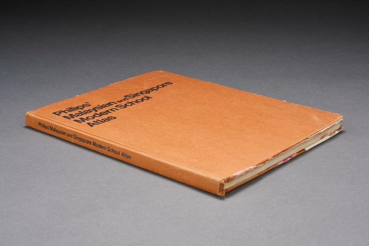
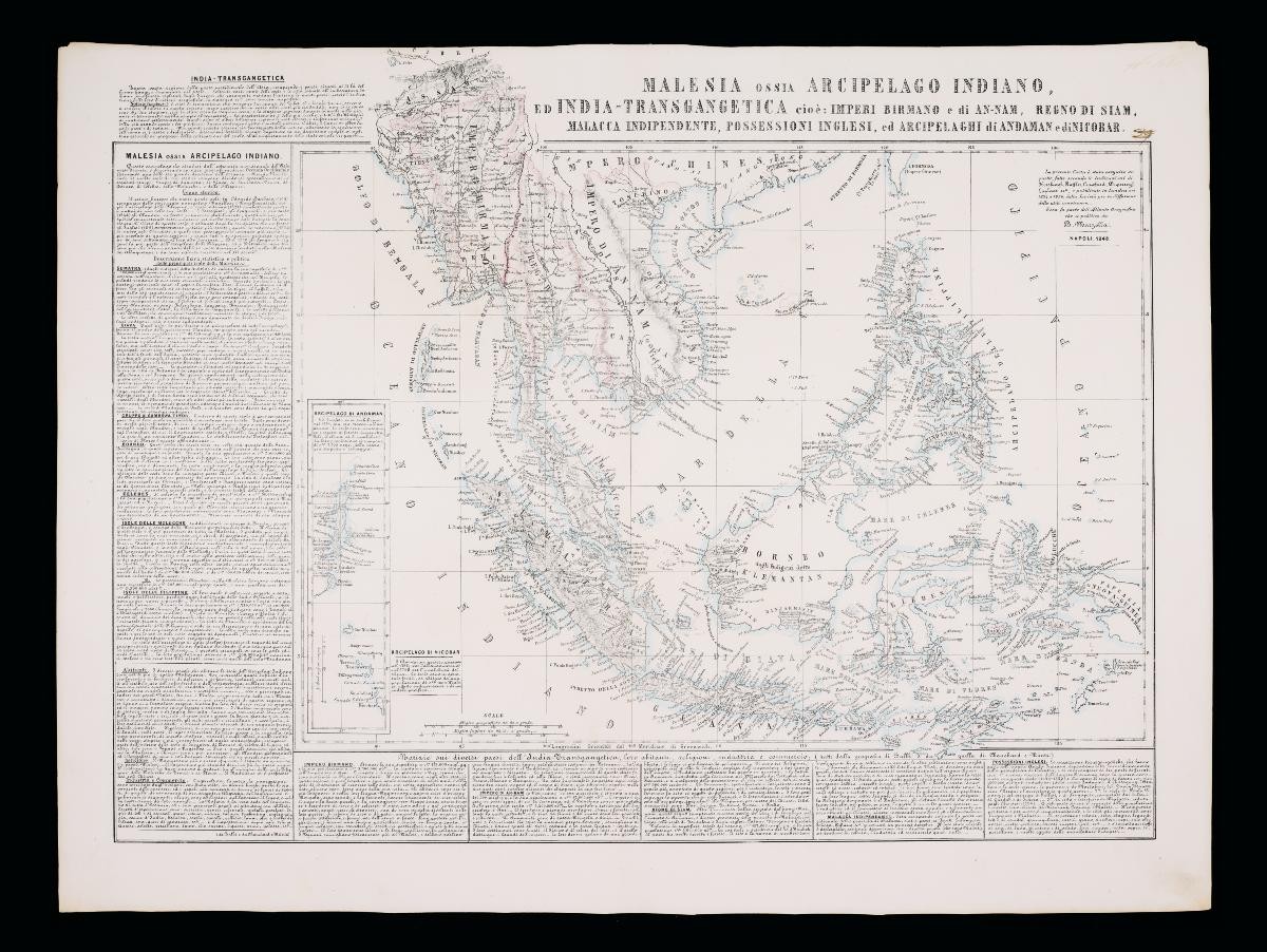
Title
‘New Secondary Atlas for Malaya’
Year/Period
1958
Region
Malaysia
Object Type
Dimension
Image size: 29.2 x 22 cm
Accession No.
1999-01801
Collection of
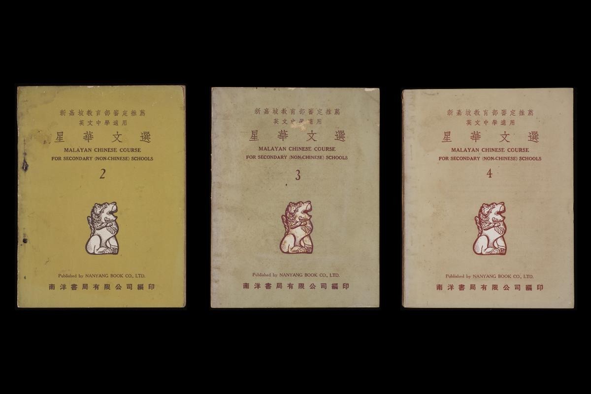
This is an atlas for secondary school students in Malaya. It has 82 pages and includes 26 colour photos and maps of Malaya, Southeast Asia, Asia, Australasia, Africa, Europe and the Americas. It also includes information such as climate, population, vegetation, economics and other relevant facts about the different continents.
.jpg)