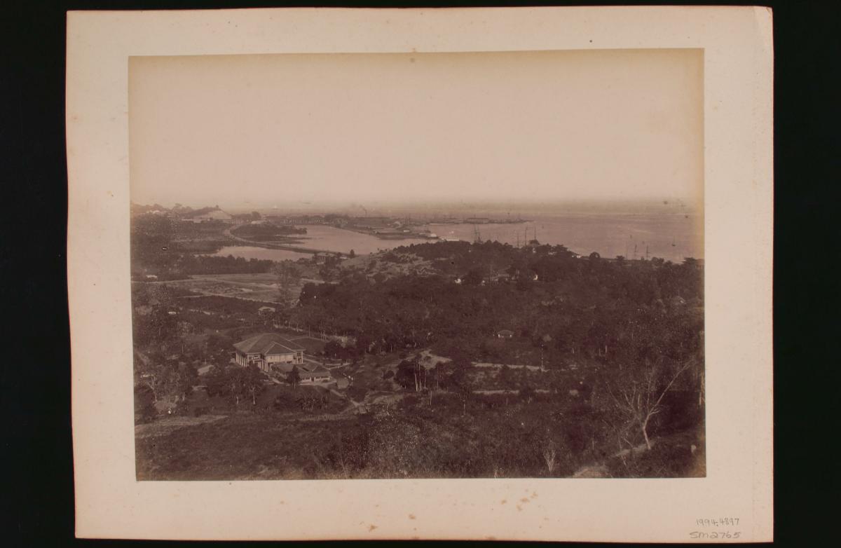
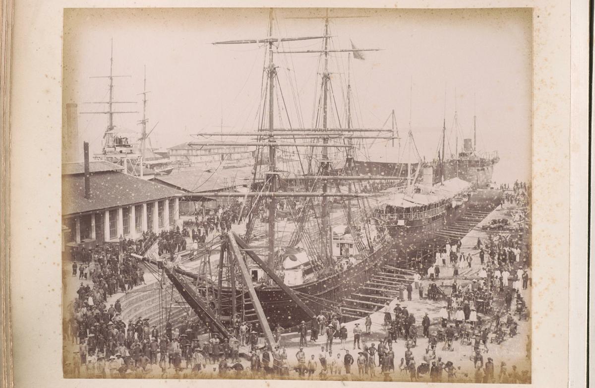
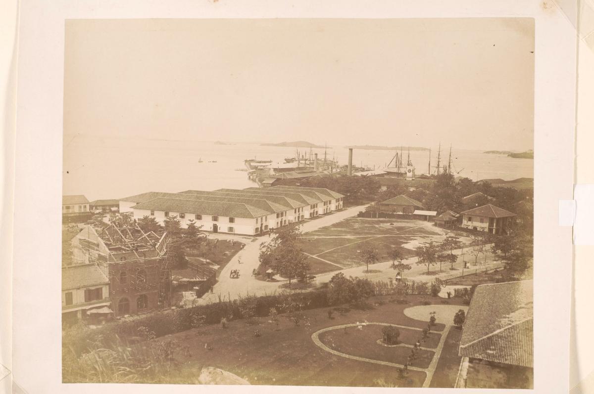
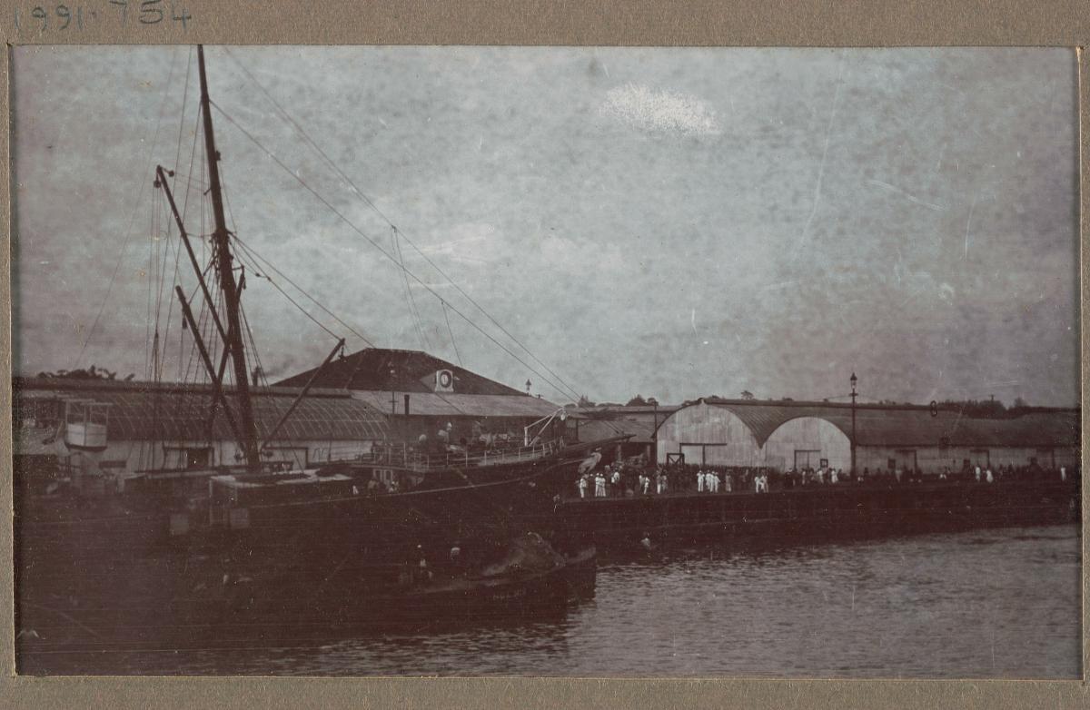
This photograph is looking east towards the Tanjong Pagar Dock Company from the foothills of Mount Faber. The curve of Keppel Road, opened in 1886, is seen in the background connecting New (Keppel) Harbour to Tanjong Pagar Road. The coal sheds and the Victoria and Albert Docks can be seen in the distance. The building in the left foreground is identified as “Radin Mass” according to a map published by the Singapore & Straits Printing Office (known as Fraser & Neave by 1893) in 1892. Telok Blangah Road can be seen running parallel to the right of the building.This was also the year when the Tanjong Pagar Dock Company amalgamated with the New Harbour Dock Company, and from then until the eventual expropriation of this company by the government, the native villages dotting the area slowly disappeared as the port developed and grew.


